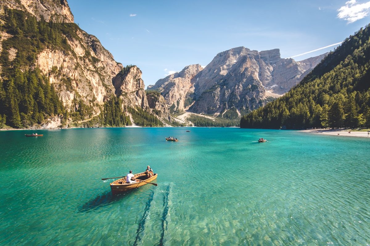
You are three days into a trek, the trail has disappeared under snow, and your phone shows no service. You need to tell your emergency contact where you are, check tomorrow’s weather, and decide if the pass is still safe. A satellite communicator can solve that problem, but only if you choose a device that matches the way you travel.
Why Cell Coverage Fails on Remote Treks
Verdict: carry a satellite communicator when your route leaves reliable mobile coverage for more than a short day hike. A phone is excellent in a town, on a marked road, or near a populated park entrance. It is not a rescue plan once towers disappear behind mountains.
The network problem is physical
Mobile phones need a nearby tower, a working network, and enough signal strength to exchange data. A deep valley can block service even when a tower is only a few miles away. Dense forest, steep canyon walls, volcanic terrain, and offshore routes create the same problem. Changing carriers may help on a road trip, but it will not create coverage in a remote Himalayan valley or on a sparsely populated section of the Appalachian Trail.
What a satellite messenger actually solves
The useful feature is not casual connectivity. It is a small set of safety actions: sending a check-in, sharing coordinates, receiving a weather forecast, messaging an emergency contact, and opening a two-way SOS conversation. That last point matters. A one-way distress beacon can announce trouble, but two-way messaging lets responders ask about injuries, supplies, visibility, and your exact position.
Coverage still has limits
Satellite equipment needs a clear view of the sky. A device buried inside a pack, placed beneath a rock overhang, or used in a narrow canyon may take longer to send. Satellite messaging also requires an active service plan. The device does not replace navigation, a paper map, first-aid skills, or a realistic turnaround time. It adds a communication layer to a broader safety system.
How to Send a Satellite Message When the Sky Is Blocked

Verdict: positioning and patience affect delivery more than the logo on the device. Most failed transmissions come from poor setup, not a defective communicator.
Use this five-step sending routine
- Move to an open area before sending. A ridge, meadow, beach, or open campsite usually works better than a forested gully.
- Keep the antenna facing upward and attach the unit where it can see the sky. A shoulder strap is better than the bottom of a backpack.
- Turn on location services and check the displayed coordinates before sending anything important.
- Write a compact message with your condition, location, intended action, and next update time. “Delayed by weather, uninjured, camping at waypoint 14, leaving at 07:00” is more useful than “All good?”
- Wait for confirmation. If the message does not send, walk a short distance into a clearer position and try again rather than repeatedly pressing send under the same trees.
Build a simple check-in plan
Tell one contact your route, expected finish time, planned camps, and the point at which they should call for help. Set a predictable check-in window, such as 7 p.m. local time. Explain that a missed check-in is not automatically an emergency; your contact should compare the missed message with your itinerary, weather, and agreed escalation steps. This prevents a late message from creating panic while still giving your support person useful information.
Test before leaving civilization
Activate the service, pair the phone, send a test message, request a forecast, and trigger no more than the device’s test function for SOS if one is available. Learn how to cancel a false alert. A communicator that stays sealed in its box until the first emergency is not ready equipment.
Garmin InReach Mini 2 vs ZOLEO: The Key Differences
The short answer is clear: Garmin wins for self-contained trail control, while ZOLEO wins for lower upfront cost and phone-style messaging. Both use the Iridium satellite network, and both require a clear sky plus an active subscription.
At-a-glance comparison
| Feature | Garmin inReach Mini 2 | ZOLEO ZL1500 |
|---|---|---|
| Device price reference | $399.99 USD suggested retail price | $199.00 USD listed price |
| Weight | 100 g / 3.5 oz | 150 g / 5.3 oz |
| Dimensions | 2.04 x 3.90 x 1.03 in | 3.58 x 2.60 x 1.06 in |
| Water rating | IPX7 | IP68 and MIL-STD 810G |
| Battery reference | Up to 14 days with 10-minute tracking and full sky view | More than 200 hours of standby use |
| Satellite network | Iridium | Iridium |
| On-device use | Screen, buttons, SOS, basic messaging, tracking | SOS and check-in buttons; phone needed for full messaging |
What the price gap means
The lower ZOLEO device price does not make it free to operate. Its US Prepare plan is listed at $19.99 per month for 50 satellite messages, with a $19.99 activation fee and a three-month minimum term. The Protect plan is $34.99 per month with unlimited satellite messages under a fair-use policy. Garmin’s current consumer plans use different tiers, including an Enabled option with a low monthly charge and pay-as-you-go messaging, plus higher plans with included messages and tracking. Regional taxes, plan changes, and activation costs can change the total, so check the live account page before purchase. The Garmin Mini 2 specifications and ZOLEO plan terms are the safest price references.
Why Garmin inReach Mini 2 Fits Navigation-Heavy Treks
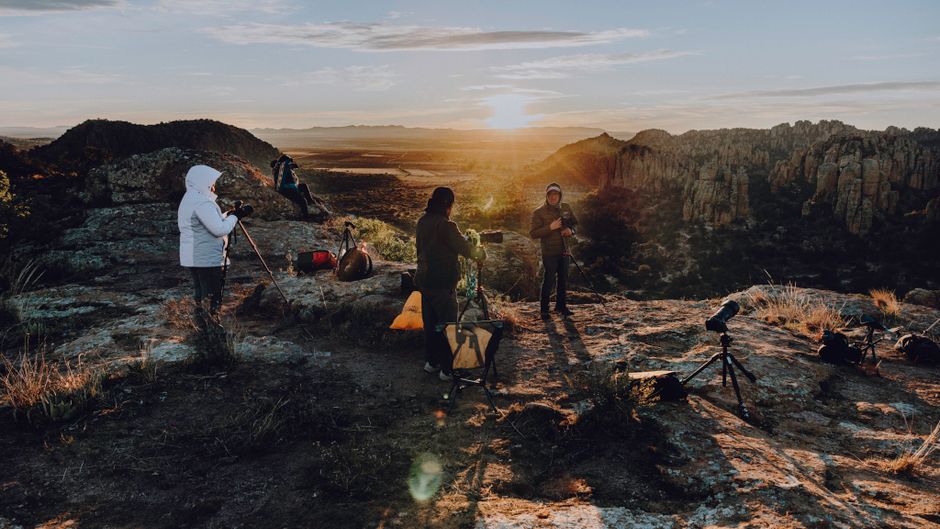
My trekking pick is the Garmin inReach Mini 2 when the device must remain useful after your phone fails. It is lighter than the ZOLEO ZL1500 by 50 g, has a small monochrome display, and supports more direct interaction from the hardware itself.
It reduces dependence on the phone
The Garmin Messenger app makes writing easier, but the Mini 2 is not just a Bluetooth modem. Its screen and buttons support basic messages, check-ins, tracking controls, weather functions, and SOS actions. That matters in cold rain, when your phone battery is low, or when a cracked screen makes touch controls unreliable. You still need to learn the menus, but the device gives you a fallback.
Battery life favors multi-day routes
Garmin rates the Mini 2 for up to 14 days with a 10-minute tracking interval, standard activity recording, and a full view of the sky. Its published figures drop to about four days with moderate tree cover in the default mode. A 30-minute tracking interval can extend the stated battery life to 30 days under a full sky. Those figures are laboratory-style maximums, not a promise for a cold, wet trek with frequent messages and poor satellite visibility. Carry a small power bank for long routes.
Its main weakness is cost structure
The $399.99 device price is a large first purchase, and Garmin’s plan system takes more effort to compare because the included messages, tracking, weather, and activation charges differ by tier. The upside is flexibility: current consumer plans can be suspended for up to 12 months at no monthly cost after activation, according to Garmin support. For a trekker who uses the device across several seasons, that flexibility can outweigh the higher hardware price. The current Garmin consumer-plan page should be checked before ordering.
Why ZOLEO Works for Message-Focused Travelers
ZOLEO is the better buy for travelers who mainly want easy two-way texting and a lower entry price. It pairs with a smartphone over Bluetooth and moves messages across Wi-Fi, cellular, or satellite networks through the ZOLEO app.
Its value is strongest for regular messaging
- The ZOLEO ZL1500 is listed at $199 and weighs 150 g.
- The ZOLEO ZL1000 is listed at $149 on the current product page, giving occasional users an even cheaper entry point.
- The app supports text, email, app-to-app messaging, check-ins, weather, and location sharing.
- Every active ZOLEO plan includes a dedicated SMS number and ZOLEO email address.
- The Prepare plan includes 50 satellite messages per month; extra messages are listed at $0.50 each.
The tradeoff is phone dependence
The communicator can send a check-in or SOS directly from its hardware, but full conversation is much easier through the phone app. That makes ZOLEO pleasant for family updates and group travel, yet less comfortable for a solo trekker whose phone is damaged, frozen, lost, or reserved for navigation. Its IP68 rating is stronger on paper than the Mini 2’s IPX7 rating, and its stated battery life exceeds 200 hours, but the two devices report battery figures under different test conditions. Do not treat those numbers as a direct laboratory race.
Mistakes That Make a Satellite Communicator Useless

The most expensive mistake is buying a communicator and never building it into the trip plan. The second is assuming a satellite signal works through anything.
Do I need one for a short, covered route?
No. If your hike stays inside dependable mobile coverage, has frequent road access, and follows a busy trail, a fully subscribed device may add cost without adding much protection. A charged phone, offline maps, a power bank, and a clear emergency plan may be enough. Buy a satellite communicator when the consequences of being unreachable justify the hardware and subscription.
Can I rely on SOS as a rescue guarantee?
No. Both the Garmin inReach Mini 2 and ZOLEO connect users to monitored emergency services, but neither can erase distance, bad weather, closed borders, or difficult terrain. SOS starts a response conversation; it does not promise an instant helicopter. Tell responders the truth, conserve battery, stay warm, and follow their instructions.
What should I avoid before departure?
Avoid activating the device at the trailhead, storing it inside your pack, skipping the test message, and choosing a plan without calculating the full trip cost. Avoid sending long emotional messages that consume multiple message units. Avoid giving friends a tracking link without explaining the planned route and check-in schedule. Finally, check local rules before carrying or activating satellite equipment, since some jurisdictions restrict these devices.
Which One Should Remote Trekkers Buy in 2026?
Buy the Garmin inReach Mini 2 for a serious solo or navigation-heavy trek; buy ZOLEO for lower-cost messaging on a route where your phone will remain dependable. That is the cleanest decision in the Garmin inReach Mini 2 vs ZOLEO comparison.
Choose Garmin when failure tolerance matters
The Mini 2 is the stronger choice for alpine routes, long-distance backpacking, winter travel, and trips where the communicator may need to work without a healthy smartphone. Its 100 g weight, screen, buttons, TracBack features, long stated tracking battery life, and direct device controls justify the higher price for those situations. A trekker who travels often can also pause the service between seasons, reducing the long-term cost.
Choose ZOLEO when messages are the main job
ZOLEO is the sharper value for couples, families, and occasional travelers who want a dedicated number, simple app messaging, location sharing, and SOS at a lower hardware price. The ZL1500’s $199 price and 5.3 oz weight are reasonable, and the ZL1000 gives budget buyers another option. My final recommendation is specific: choose the Garmin inReach Mini 2 for remote treks where navigation and device independence matter; choose ZOLEO only when affordable two-way messaging is the priority and you accept phone dependence.