Most people who start the PCT don’t finish. The 2026 completion rate was around 60% for northbound hikers. That’s not because the trail is impossible. It’s because people show up unprepared. Here’s what you actually need to know to be in that 60%.
Permits and Timing: The Two Things That Will Stop You Cold
No permit, no hike. It’s that simple. The PCTA issues a limited number of long-distance permits each year. In 2026, the application window opens in October 2026. You need to be ready.
PCTA Long-Distance Permit covers the entire trail. It costs $20 plus a $10 processing fee. You must start at one of the approved termini (Campo, CA or Manning Park, BC) and hike in one continuous direction. The permit is valid for your entire hike, but you must start within a specific 7-day window.
Timing matters more than gear. Northbound hikers start between late March and early May. Start too early and you hit the Sierra Nevada when snow is still deep. Start too late and you hit the Cascade Range in Washington during fire season. The sweet spot is mid-April.
If you don’t get a PCTA permit, you can piece together regional permits. The Cleveland National Forest, San Bernardino National Forest, and Sierra Nevada each require separate permits. It’s a logistical headache. Get the PCTA permit.
What happens if you start too early
You’ll hit the Sierra Nevada in May. Snow covers the passes. Crossing streams is dangerous. Several hikers die each year trying to ford rivers in June. Don’t be one of them.
What happens if you start too late
You’ll hit Washington in September. Fire season peaks. Trail closures are common. You might not finish before snow returns in October.
Gear: What You Carry Determines How Far You Walk
Your base weight (everything except food and water) should be under 15 pounds. That’s not optional. Carrying a 30-pound pack on a 2,650-mile trail will destroy your knees and your will to continue.
The Osprey Atmos AG 65L ($270) is a solid choice for beginners. It’s heavy (4.5 pounds) but comfortable. The Anti-Gravity suspension system distributes weight well. If you want lighter, look at the Gossamer Gear Mariposa 60 ($285) at 2.3 pounds.
Your tent should be under 3 pounds. The Big Agnes Copper Spur HV UL2 ($500, 3 pounds) is the most popular tent on the PCT for a reason. Freestanding, easy to set up, decent weather protection. The Zpacks Duplex ($700, 1.3 pounds) is lighter but requires trekking poles to pitch.
Your sleeping bag should be rated to 20°F. Nights in the Sierra can drop below freezing even in June. The Enlightened Equipment Enigma 20°F ($345, 1.5 pounds) is a quilt, not a bag. Saves weight. Works well.
Don’t buy everything at once. Start with the big three: pack, shelter, sleep system. Then add layers, cook system, and electronics. Test everything on weekend trips before you hit the PCT.
| Item | Recommended | Weight | Price |
|---|---|---|---|
| Backpack | Osprey Atmos AG 65L | 4.5 lbs | $270 |
| Tent | Big Agnes Copper Spur HV UL2 | 3.0 lbs | $500 |
| Sleep System | Enlightened Equipment Enigma 20°F | 1.5 lbs | $345 |
| Water Filter | Sawyer Squeeze | 0.3 lbs | $40 |
| Navigation | Garmin inReach Mini 2 | 0.3 lbs | $400 |
Water: The Real Challenge on the PCT
Southern California is dry. Really dry. There are stretches of 20-30 miles with no reliable water sources. You’ll carry up to 6 liters of water at a time. That’s 12 pounds of water alone.
Water sources are seasonal. A creek that flows in April might be dry by June. Check the PCT Water Report before you leave every town. It’s updated weekly by volunteers. Don’t trust your map.
The Sawyer Squeeze ($40) is the standard water filter on the PCT. It screws onto standard plastic water bottles. It filters 100,000 gallons before needing replacement. Carry a backup in case the filter freezes overnight (it will crack).
Carry at least 4 liters in the desert. More if you’re hiking through midday heat. In the Sierra, you’ll have water everywhere. In Oregon and Washington, you’ll filter from streams. Never drink untreated water. Giardia is real and it will ruin your hike.
Water caching
Some hikers cache water in the desert. You drive out, bury bottles, and pick them up later. It’s allowed on most public land but requires planning. Mark your caches with GPS coordinates. Other hikers might take your water in an emergency. Plan for that.
Navigation and Safety: Don’t Rely on Your Phone
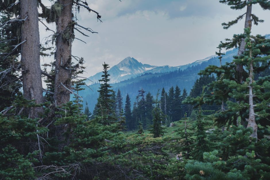
The PCT is well-marked, but you’ll still get lost. Trail junctions aren’t always signed. Snow covers the trail. Fires reroute sections. You need a backup plan.
The Garmin inReach Mini 2 ($400) is mandatory. It sends your location to family every 10 minutes. It has an SOS button that connects to search and rescue. It works anywhere there’s a clear view of the sky. The subscription costs $15/month. Worth every penny.
Carry paper maps. The PCTA sells a set of 14 maps covering the entire trail. They’re waterproof and don’t need batteries. The Guthook app (now called FarOut) is the digital standard. Every thru-hiker uses it. It shows your GPS location on the trail, water sources, campsites, and town info. Download it before you leave.
Bears are not the problem. Mice are. They’ll chew through your tent to get at food. Use an Ursack Major ($90) for food storage. It’s a bear-resistant bag that weighs 7 ounces. Hang it or tie it to a tree. Mice can’t get through it.
Weather kills more hikers than animals. Hypothermia is the real danger. Carry a puffy jacket, rain jacket, and emergency bivy. The Patagonia Micro Puff Hoody ($350, 10 ounces) is warm, compressible, and works when wet. The Outdoor Research Helium Rain Jacket ($170, 6 ounces) packs small.
Food, Resupply, and Town Stops
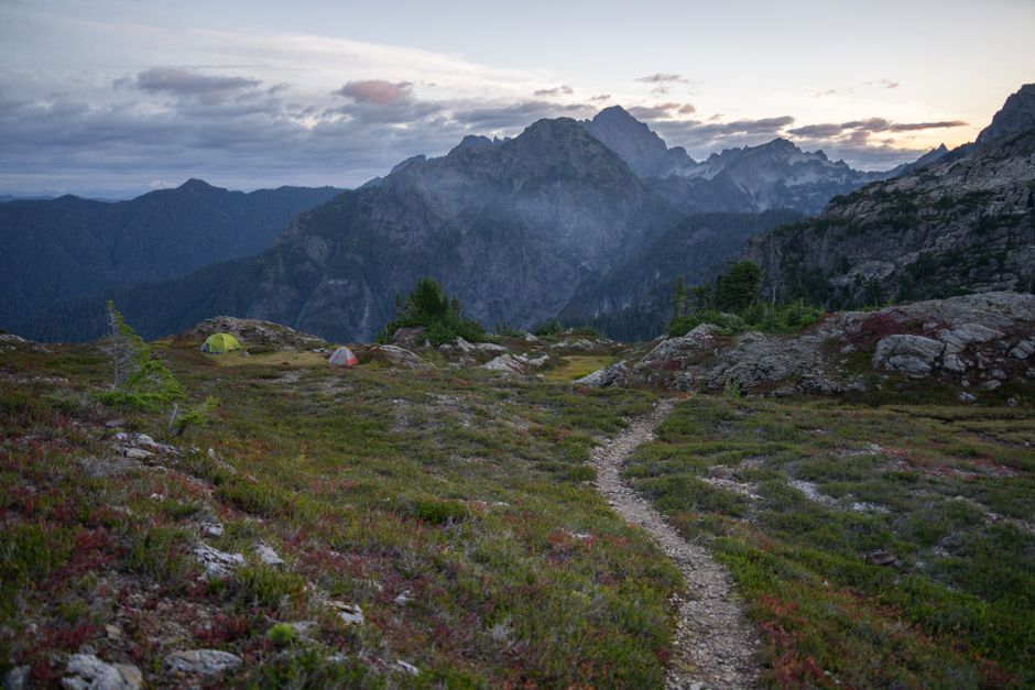
You’ll eat about 3,500 calories per day on the trail. That’s roughly 2 pounds of food per day. For a 5-day stretch, you need 10 pounds of food. That’s a lot to carry.
Resupply boxes are the standard method. You mail boxes of food to post offices and stores along the trail. The PCTA provides a list of resupply points with addresses and shipping instructions. Send boxes 2-3 weeks before you need them.
Popular resupply towns: Warner Springs (mile 109), Kennedy Meadows (mile 703), South Lake Tahoe (mile 1090), Ashland (mile 1718), Cascade Locks (mile 2155). Each has a store and post office. Some have hostels and restaurants.
What to put in a resupply box: Instant oatmeal, tortillas, peanut butter, trail mix, protein bars, instant mashed potatoes, ramen, candy. Pack for variety. You’ll get sick of Clif Bars by day 10.
Zero days matter. Take a day off in town every 7-10 days. Do laundry. Eat real food. Charge your devices. Your body needs recovery time. Hiking 20+ miles every day without rest leads to injury.
Don’t overplan. The trail changes you. Your pace will change. Your food preferences will change. Mail yourself a box every 5-7 days, but leave flexibility. You can buy food in most towns along the way.