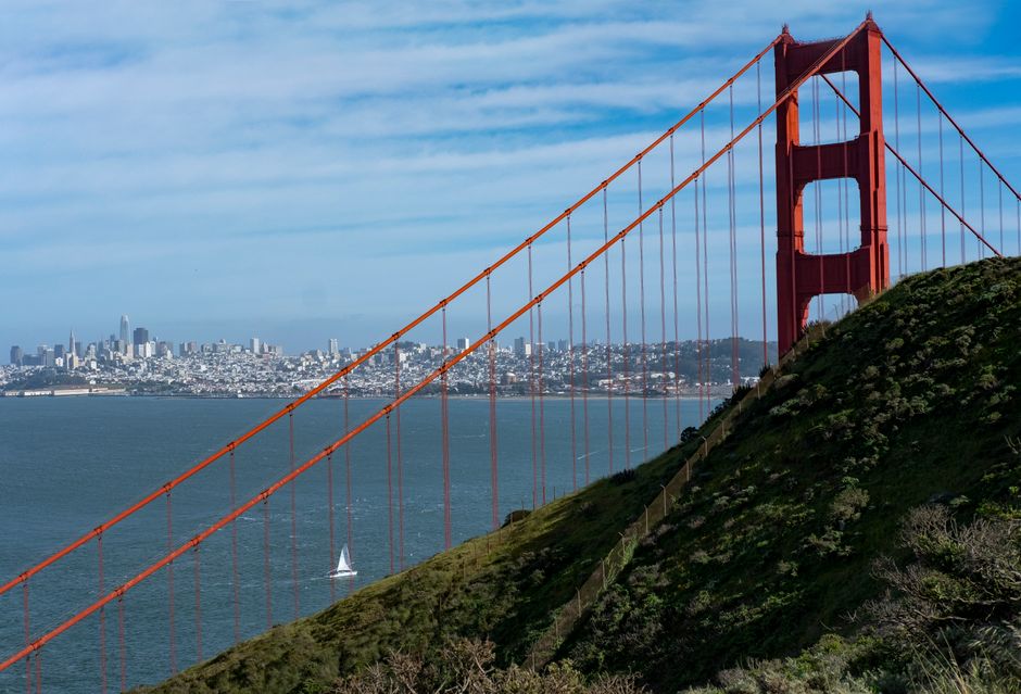
A visitor can leave a waterfront hotel after breakfast, climb several steep blocks, cross a foggy ridge, and arrive somewhere that feels like a different city before lunch. San Francisco rewards curiosity, but its hills, microclimates and scattered attractions punish careless routing.
Which San Francisco neighbourhoods fit a first visit?
The strongest first visit usually combines one historic district, one cultural area, one waterfront stretch and one broad green space. No single neighbourhood represents the whole city. The practical choice is to group nearby areas instead of crossing town for every stop.
Choose by atmosphere, not by a checklist
Chinatown and North Beach suit visitors who want compact streets, historic buildings and busy evenings. The Mission offers murals, food culture and a more local street rhythm. The Castro is compact and socially significant, while the Richmond and Sunset districts feel quieter, more residential and closer to the ocean-facing parks.
Use this quick comparison
| Neighbourhood | Best for | Terrain | What to expect |
|---|---|---|---|
| Chinatown | History and food streets | Moderate hills | Crowded lanes and steep approaches |
| North Beach | Evening atmosphere | Hilly | Cafés, narrow streets and nightlife |
| Mission | Murals and culture | Mostly level | Long blocks and varied street life |
| Presidio | Trails and views | Rolling | Open space and changing weather |
For a first visit, Chinatown, North Beach, the Embarcadero, the Mission and the Presidio form the most useful core. They show different sides of the city without forcing the same kind of experience every day.
How should a three-day neighbourhood itinerary be arranged?
Neighbourhood clusters are the safest planning principle. A day should have one main area and, at most, one nearby extension. That leaves room for hills, queues, unexpected views and the simple fact that San Francisco streets invite slow wandering.
Day one: historic streets and the bay
- Begin in the Embarcadero during the cooler morning hours.
- Walk inland through Chinatown, allowing time for side streets rather than only the main route.
- Continue into North Beach for a late lunch or early evening.
- Finish at a viewpoint if the sky is clear, but keep a warm layer available.
Day two: murals, identity and parks
- Start in the Mission with a short mural walk and time around its main commercial corridors.
- Continue toward the Castro, where local history and civic life are closely connected.
- Use the afternoon for Golden Gate Park or a museum area, depending on weather and energy.
Day three: the western edge
Reserve the final day for the Presidio, the Richmond or the Sunset. These areas work best when treated as destinations rather than brief photo stops. A three-day plan should end with space for one unplanned hour. That buffer often produces a better memory than another tightly scheduled attraction.
Why do San Francisco hills and microclimates change the plan?
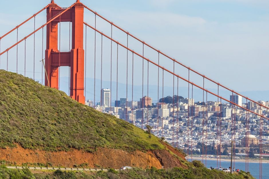
San Francisco is compact on a map but not always easy on foot. The city’s street grid meets ridges, valleys and abrupt slopes, so a route that appears short can become tiring. Elevation also changes the view: a few blocks may separate a sheltered street from a windy overlook. The hill factor is not a minor detail. It decides how many neighbourhoods can be visited comfortably in one day.
Read the weather by district
The waterfront can feel bright and cold at the same time. The Mission is often warmer than the western districts, while the Presidio can turn windy or misty within minutes. A forecast for the city gives only a broad picture. Visitors should check the expected conditions for the specific side of town being visited and dress in layers that can be removed easily.
Plan walking in one direction
Downhill routes are usually easier than uphill routes, but they still require attention on uneven pavements and steep crossings. When a day includes Chinatown, North Beach or Russian Hill, place the highest viewpoint before the final meal if possible. That avoids ending a long day with a punishing climb. Public transport can bridge the hardest section, but route changes and waiting time should be treated as part of the itinerary rather than ignored.
The most credible plan leaves room for slower movement. San Francisco is not a city where every landmark needs to be collected from a distance.
How can visitors move between neighbourhoods without wasting time?
Route logic matters more than speed. The best transport choice is the one that preserves the shape of the day. Walking works for adjacent districts, buses and streetcars cover longer cross-city links, and rail is useful when the route matches the city’s main corridors. A short journey can still take time because traffic, transfers and steep approaches affect the total trip.
Match transport to distance
- Walk between the Embarcadero, Chinatown and North Beach when energy and weather allow.
- Use public transport for the Mission to western parks connection rather than forcing a long cross-city walk.
- Allow extra time for routes that cross hills or require a transfer.
- Keep a map available offline because signal can weaken in dense streets or large parks.
Know when not to combine areas
Do not place the Presidio, the Mission and the Sunset into one afternoon. They are all worthwhile, but the distance between them consumes the time meant for exploring. The same warning applies to pairing a long waterfront walk with several steep hill viewpoints. A visitor who sees fewer districts with more attention usually gains a stronger sense of the city than someone who spends the day watching arrival times.
Travel after dark should follow the same practical rule used in any large city: stay aware of surroundings, keep valuables secure and choose well-used routes.
What mistakes make a San Francisco itinerary feel rushed?
Most disappointing visits fail through structure, not a lack of attractions. The city offers too many possible stops for a plan built around vague distances and optimistic walking times.
Common planning failures
- Crossing town repeatedly: jumping from the Presidio to the Mission to the waterfront creates transport time without adding much local understanding.
- Ignoring elevation: a one-mile route may include a steep ascent that changes the whole afternoon.
- Treating weather as uniform: clear skies in one district do not guarantee warmth near the ocean.
- Using only famous viewpoints: a skyline photograph cannot explain how a neighbourhood feels at street level.
- Scheduling every meal and stop: rigid timing leaves no space for queues, closures or an interesting side street.
When should a district be left for another day?
Leave when the visit has stopped being useful. If tiredness turns a park walk into a march, or fog removes the main view, shift to a sheltered cultural stop or return to a district with more energy. This is not wasted time. It is sound itinerary control. The best safeguard is a short list of optional stops that can be dropped without damaging the day.
Visitors should also avoid assuming that a famous street represents an entire community. One crowded corridor can be lively, commercial or congested while nearby blocks remain quiet.
What does a balanced neighbourhood day look like?
A good day has a clear opening, a flexible middle and a calm finish. It combines one place for orientation, one place for detail and one place for rest. The following schedule is a useful model rather than a rule.
A practical daily rhythm
| Time | Activity | Planning purpose |
|---|---|---|
| 8:30–10:00 | Breakfast and first walk | Use quieter streets before peak crowds |
| 10:00–12:30 | Main neighbourhood route | Cover the district’s central history or culture |
| 12:30–14:00 | Unhurried meal break | Reset before changing areas |
| 14:00–16:30 | Park, museum or secondary district | Choose based on weather and energy |
| 16:30–18:00 | Viewpoint or quiet street | Leave room for a final local impression |
How should the day end?
End near the area already being explored instead of travelling across town for one final landmark. A quiet park edge, a public square or a well-used commercial street can provide a better closing scene than another rushed attraction. The strongest itinerary leaves visitors with a sense of how districts connect, not just a list of places visited.
San Francisco continues to change through new residents, shifting businesses, public projects and renewed attention to older communities. That makes the neighbourhood map less like a fixed checklist and more like an ongoing civic story—one best understood at walking pace.