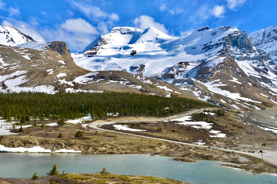
Many visitors treat the Icefields Parkway as a scenic shortcut between Jasper and Lake Louise. That misses the point. The highway covers about 232 kilometres, but the best parts are spread across a full mountain day, and several stops need more time than a quick photograph. A realistic plan allows two days for the drive, or three to four days when Jasper itself deserves proper attention.
The route rewards patience. It crosses broad valleys, high passes, glacier-fed rivers, and some of the most exposed landscapes in the Canadian Rockies. It also brings practical challenges: limited services, changing weather, wildlife near the road, and long gaps between safe stopping areas. The strongest itinerary builds around daylight, road conditions, and a few worthwhile stops instead of trying to collect every viewpoint.
Which Icefields Parkway stops deserve time?
The route has more viewpoints than any sensible itinerary can include. Distances and driving times are approximate, measured from the previous major stop in clear summer conditions.
| Stop | Approximate distance | Driving time | Practical time needed |
|---|---|---|---|
| Athabasca Falls | 32 km from Jasper | 30 minutes | 45 to 60 minutes |
| Sunwapta Falls | 55 km from Athabasca Falls | 45 minutes | 60 to 90 minutes |
| Glacier viewpoint area | 40 km from Sunwapta Falls | 35 minutes | 20 to 30 minutes |
| Columbia Icefield area | 50 km from the glacier viewpoint area | 45 minutes | 2 to 4 hours |
| Waterfowl Lakes | 65 km south of the Columbia Icefield | 50 minutes | 20 to 45 minutes |
| Bow Lake | 25 km south of Waterfowl Lakes | 20 minutes | 30 to 60 minutes |
| Lake Louise | 65 km south of Bow Lake | 55 to 70 minutes | At least half a day |
Best short walks and viewpoints
Athabasca Falls is the strongest early stop because the path is short, the river is powerful, and the canyon shows how quickly moving water can shape rock. Sunwapta Falls offers a similar lesson with a quieter trail option beyond the main viewpoint. These stops work well for travellers with limited hiking time.
Best places for a slower pause
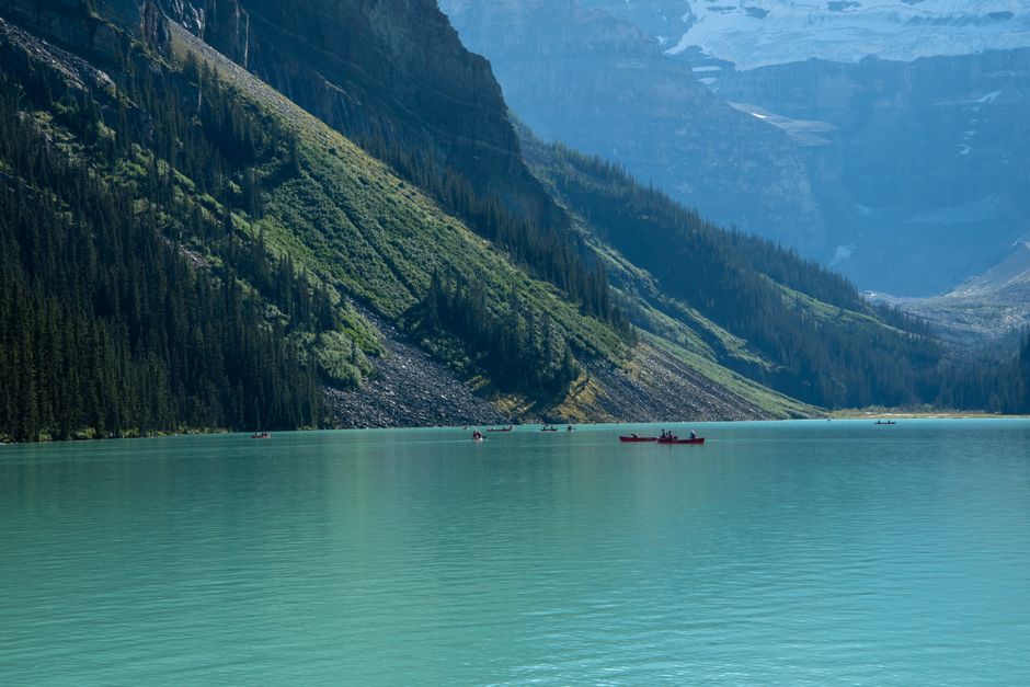
Bow Lake and the lakes farther south deserve longer pauses when the weather is clear. Their value comes from the setting rather than a single feature: open water, steep peaks, and reflections that change by the minute. The best approach is to choose two or three major stops and leave room for unplanned viewpoints. Trying to stop everywhere usually produces a tiring day and less time at the places that matter.
How to plan a two-day Jasper and Icefields Parkway itinerary
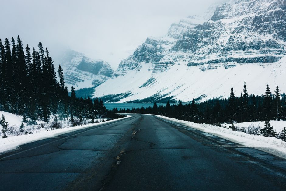
A two-day plan works because it matches the route’s geography. The first day follows the river valleys south from Jasper. The second day focuses on the high pass, glacier country, and the lakes near Lake Louise.
- Day one: Jasper to the Columbia Icefield area. Leave Jasper after breakfast, but not so late that the first viewpoints become crowded. Stop at Athabasca Falls, then continue to Sunwapta Falls. Take a proper break before the road climbs into more exposed terrain. Use the afternoon for glacier viewpoints and the Columbia Icefield area. Overnight near the icefield if lodging is available, or return to a planned base without attempting a long detour.
- Day two: Columbia Icefield to Lake Louise. Start with a weather check. Fog can erase the high mountain views, while clear mornings often provide the best visibility. Cross Sunwapta Pass, pause at the glacier-fed lakes, and choose Bow Lake or another open shoreline for a slower break.
- Keep fuel, food, and water ahead of schedule. Services are widely spaced. Fill the vehicle and carry food before leaving Jasper or the next major service point. Treat every official service area as a planning marker rather than assuming another option will appear shortly.
- Build in a weather buffer. Add at least two hours to the day’s schedule for rain, low cloud, road work, wildlife, or a viewpoint that deserves more time. A tight timetable turns a scenic road into a stressful transfer.
- Choose the direction based on the wider trip. Driving south from Jasper suits travellers continuing toward Lake Louise, Banff, or Calgary. Driving north makes more sense when Jasper is the final mountain destination. The scenery is strong in both directions, but the southern drive often feels more dramatic as the road rises toward the high pass.
This itinerary is better than a dawn-to-dark crossing because it protects the quiet parts of the route. It also leaves a practical response to poor weather: a missed viewpoint can be revisited, while a rushed schedule cannot recover lost daylight.
What changes between summer, shoulder season, and winter?
Is summer always the easiest season?
Summer offers the longest daylight and the widest access to trails, lakes, and viewpoints. It also brings the most traffic, the greatest demand for overnight stays, and more people stopping in unsafe places. Start early, use marked pullouts, and expect popular viewpoints to be busiest from late morning through mid-afternoon. Even in summer, temperatures can fall quickly at high elevations, and rain can reduce visibility within minutes.
What should be expected in spring and autumn?
Shoulder seasons often provide quieter roads and clearer photographs, but conditions are less predictable. Snow can return at high elevations after warm weather in the valleys. Some services, trails, or facilities may operate on reduced schedules. Check official park alerts and provincial road reports before departure, then keep the itinerary flexible enough to skip a high pass if conditions deteriorate.
Is the route suitable in winter?
Winter transforms the highway into a serious mountain drive. Snow, ice, short daylight, and limited services increase the consequences of a minor problem. Drivers need suitable winter equipment, strong road awareness, and enough daylight to avoid finishing the route after dark. Some attractions may be inaccessible or much less useful under snow. For most visitors, winter is best approached as a slow scenic journey with a conservative turnaround plan, not as a quick connection between towns.
The clear seasonal choice is summer for the broadest access, early autumn for a quieter balance, and winter only when the driver is comfortable with exposed mountain roads and changing conditions.
What mistakes cause the most trouble on this route?
The most damaging mistake is planning the Icefields Parkway like a normal highway transfer. The distance looks manageable on a map, but the route demands more time because every useful stop is separated by mountain terrain, wildlife activity, and weather changes.
- Leaving too late: A late departure pushes the high-country section into poor light and leaves no space for delays. Start early enough to reach the first major stop before the day becomes crowded.
- Stopping on the road shoulder: A beautiful view is not a safe reason to block traffic. Use marked pullouts and keep clear of bends, narrow bridges, and areas with limited sight lines.
- Ignoring fuel and food: Do not assume every settlement has open services. Fill up before the long sections and carry water and food for the full day.
- Underestimating elevation: A warm morning in Jasper can become cold, windy, or snowy near the pass. Pack layers even when valley weather looks mild.
- Chasing wildlife: Animals can move suddenly, and stopping too close creates danger for people and wildlife. Slow down, stay in the vehicle when required, and leave space for the animal to move.
- Planning around one viewpoint: Clouds may hide a glacier or peak. A strong itinerary includes falls, rivers, lakes, and short walks so the day still works when one view disappears.
- Using a rigid arrival time: The route has too many variables for a minute-by-minute schedule. Book the first night carefully, then allow the road to set the pace within safe limits.
These mistakes share one cause: treating scenery as guaranteed and time as fixed. The route works better when safety and daylight come before the checklist.
Where should Jasper fit in a wider Rocky Mountain trip?
When is Jasper worth several nights?
Jasper deserves at least two full nights when the trip includes hiking, lakes, wildlife viewing, or time to recover from a long journey. The town provides a useful base for exploring the surrounding park, while the Icefields Parkway is a separate experience that should not consume every available day. Rushing through Jasper only to drive south can make the whole mountain trip feel like a transfer.
When is a shorter stop enough?
A single night can work when the main goal is a northbound or southbound route and the schedule is tight. In that case, choose one nearby Jasper-area outing, prepare supplies before departure, and protect the next morning for the highway. The tradeoff is clear: a short stay covers the town and one highlight, while a longer stay gives the weather and wildlife more chances to cooperate.
Travellers comparing the Icefields Parkway with a faster route should choose this highway when landscapes, short walks, and changing mountain conditions are the reason for the journey. It is a poor choice when the only goal is reaching the next city quickly. The road is not a shortcut in the practical sense; it is the destination.
That resolves the opening misconception. Jasper and the Icefields Parkway should not be measured by how quickly a vehicle covers 232 kilometres. Plan two days, start early, carry the essentials, and leave room for weather and wildlife. The highway then becomes what it is meant to be: a carefully paced passage through the Canadian Rockies, with enough time to see the places between Jasper and Lake Louise rather than simply driving past them.