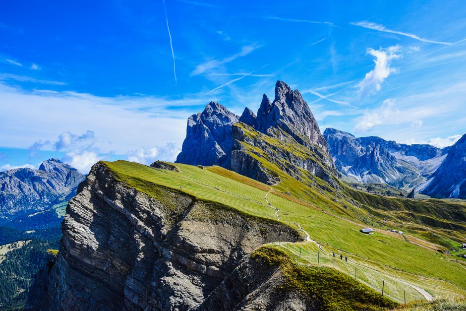
A first morning in the Dolomites often begins with a simple decision: follow a broad valley path toward a village, or commit to a trail that climbs into exposed mountain terrain. The landscape can make both options look equally inviting. The difference lies in distance, elevation, surface, weather and the return plan.
Trail conditions, fitness, snowfall and local notices can change the assessment.
For travel decisions, current trail notices, weather bulletins and local transport information take priority over general guidance.
How to Build an Easy Dolomites Itinerary
A reliable itinerary treats altitude and recovery as part of the route, not as details to solve later. The following sequence works well for a three- to five-day visit.
- Start with a low-pressure arrival day. Walk through the chosen village, check the next day’s transport, and take a short valley path. This exposes problems with footwear, weather or altitude before a longer excursion.
- Put the easiest high-view route next. A lift-assisted meadow or plateau walk can provide major scenery without a large ascent. Check the last return connection before leaving the station.
- Reserve the longest walking day for stable weather. Keep the route flexible until the forecast is clear. A two-hour walk on dry ground can become slow and tiring after rain.
- Build in a village day. Choose a route that links two settlements, a local museum, a church, or a food stop. This gives the legs a break while preserving a sense of progress.
- Keep the final day short. Departures, luggage and delayed buses create pressure. A nearby loop is usually better than a remote hike that depends on perfect timing.
A workable daily rhythm
Leave after checking visibility, temperature and trail notices. Carry water, a light insulating layer, rain protection, a charged phone and a map that works offline. Set a turnaround time before starting. If the route has become slower than expected by that point, return while there is still daylight and transport capacity.
What Counts as an Easy Hike in the Dolomites?
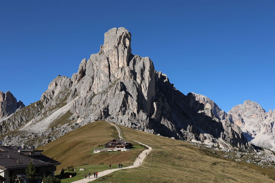
“Easy” does not mean identical for every traveler. A route may be short but awkward underfoot, flat but exposed, or well-marked but difficult to reach without several connections. The most useful assessment combines four factors: distance, elevation gain, surface and consequence if something goes wrong.
Distance is only the first measure
A three-kilometer path on a broad, dry track can feel simple. The same distance over loose stones, roots and repeated steps can take much longer. For a relaxed day, a route of roughly two to six kilometers is often more realistic than a long point-to-point walk, especially when a return journey remains.
Elevation changes the effort quickly
A gradual climb is usually easier to manage than a short route with a steep ascent. Travelers unused to mountain altitude may notice breathlessness even on gentle ground. The first high route should stay conservative, with modest elevation gain and several places to stop. A lift can reduce the uphill work, but it does not remove the effect of altitude.
Surface and exposure matter
Broad gravel tracks suit families and cautious walkers better than narrow ledges or damp stone. Some paths are technically undemanding but uncomfortable for anyone affected by heights. A route description that uses terms such as exposed, rocky, steep or uneven deserves careful attention. In poor weather, a path that is normally straightforward may become slippery and hard to navigate.
The clearest rule is to judge the hardest ten minutes of the route, not the most attractive photograph. If the route includes a steep descent, an exposed traverse or a remote section with no transport alternative, it should not be treated as an easy village walk.
Questions That Prevent a Bad Mountain Day
Can a lift turn a difficult hike into an easy one?
It can remove a long ascent, but it cannot guarantee an easy day. The upper station may sit above the comfortable altitude range, and the remaining trail may include rock, wind or steep drops. The return route also depends on operating hours and weather closures.
Are the villages connected without a car?
Many major valleys have buses, lifts or rail links, but service frequency varies by season. A route that looks close on a map may require a change or a long wait. Check the first and last practical connection before choosing a point-to-point walk.
When should a route be cancelled?
Cancel or shorten the walk when thunderstorms approach exposed ground, visibility falls on an unfamiliar trail, snow remains on a section described as clear, or the return connection would be missed. The right comparison is not scenery versus inconvenience. It is a planned low-risk day versus a rushed descent in worsening conditions.
What makes a route suitable for families?
Look for a short loop, firm footing, shade or rest areas, and a nearby alternative if someone wants to stop. Avoid routes where a single narrow passage determines the entire day. A village walk with a visible return point is often more successful than a dramatic trail chosen only for photographs.
The Best Short Plan: Three Days or Five?
For a first visit, five days is the better plan. Three days can show the landscape, but five days allow one weather change, one recovery day and one village-focused excursion without turning every morning into a race against transport. The extra time matters because mountain conditions rarely follow a fixed itinerary.
| Trip length | Best structure | Main advantage | Main limitation |
|---|---|---|---|
| Three days | One village arrival day, one high-view walk, one valley route | Efficient introduction to the region | Little room for closures or poor weather |
| Five days | Two easy hikes, one village day, one flexible weather day, one short final route | Better pace and more route choices | Requires more accommodation and transport planning |
| Seven days | Two bases or one base with several valley excursions | Allows slower travel and deeper local exploration | More transfers can add complexity |
A sound three-day version should stay in one valley. A five-day version can add a second area only if the transfer is simple and the weather outlook supports it. The most dependable Dolomites itinerary is not the one with the greatest number of peaks. It is the one that leaves enough time to walk slowly, change plans safely and enjoy the villages between the trails.